![[Open Data]](https://assets.okfn.org/images/ok_buttons/od_80x15_blue.png)
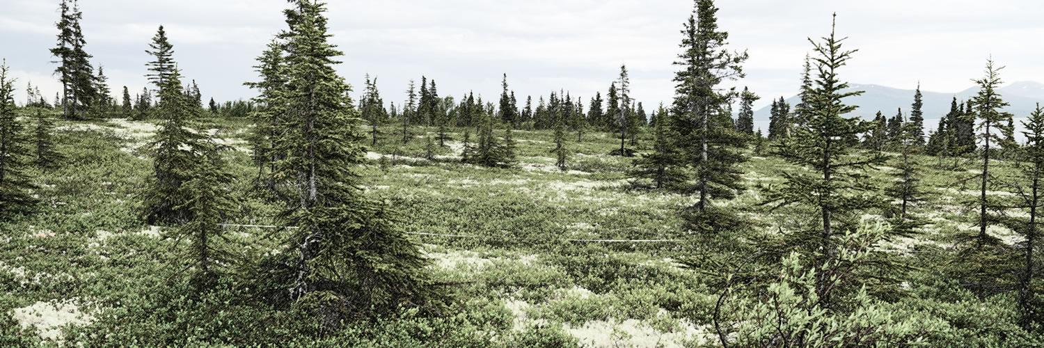
Research, conservation, and effective natural resource management often depend on maps that characterize patterns of vegetation composition. Quantitative and ecologically specific representations of plant proportional abundance have several advantages: they are theoretically consistent with plant community ecology, avoid arbitrary and subjective thresholds or categorizations, and minimize information loss relative to field observations and covariates. They also avoid a human interpretational bias not necessarily shared by or important to plants or wildlife. We developed quantitative continuous foliar cover maps for 15 plant species or ecologically narrow aggregates in Arctic and boreal Alaska and adjacent Yukon (North American Beringia). We integrated new and existing ground and aerial vegetation observations for Arctic and boreal Alaska from three vegetation plots databases. To map patterns of foliar cover, we statistically associated observations of vegetation foliar cover with environmental, multi-season spectral, and surface texture covariates using hierarchical statistical learning models. To provide context to the performance of our continuous foliar cover maps, we compared our results to the performances of three categorical vegetation maps that cover Arctic and boreal Alaska: the National Land Cover Database and the coarse and fine classes of the Alaska Vegetation and Wetland Composite. Our maps predicted 40% to 62% of the observed variation in foliar cover per species or aggregate at the site scale. A multi-scale accuracy assessment showed that the maps generally captured patterns of plant abundance accurately at landscape and regional scales. All continuous foliar cover maps performed substantially better than the existing categorical vegetation maps. The vegetation database and scripted workflow that we developed to create the continuous foliar cover maps will allow consistent future updates to include new observations of plant abundance patterns and new or updated covariates. Our scripted workflow also allows the application of our methods to areas beyond North American Beringia. The continuous foliar cover maps that we developed improve representation of vegetation composition patterns relevant to plant communities and wildlife habitats in North American Beringia.
About the Data
Geospatial data are provided as TIF single band rasters with a 10 x 10 m resolution along with an optional lyrx file for visualization of the data in ArcGIS Pro. In addition to the raster data, we also provide the trained statistical models, supplementary plots, and predicted input data.
Acknowledgements
Bureau of Land Management and National Park Service provided funding for the Alaska Vegetation Plots Database (AKVEG). Alaska Department of Fish and Game and Bureau of Land Management provided funding to develop continuous foliar cover maps of plant species and aggregates. We thank Kassidy Colson, Dr. Jeffrey Stetz, Parker Martyn, Scott Guyer, and Aliza Segal for their support of this work. Numerous vegetation ecologists, botanists, and soil scientists collected the ground and aerial observations of vegetation patterns that provided the training and testing data for these maps. Although too numerous to list by name, this work is only possible through their collective efforts across two decades. Dr. Aaron Wells provided Ecological Land Survey and other data collected during the past 20 years by ABR, Inc.—Environmental Research & Services. Carl Roland and Dr. David Swanson provided National Park Service Central Alaska Network and Arctic Network Inventory and Monitoring data for use in the maps of Picea glauca - × lutzii and Picea mariana.
Data and Resources
- Continuous Foliar Cover of Vegetation for North American Beringiazip
The data for this record are hosted on the Zenodo. Users can download the...
Go to resource - User Guide for Continuous Foliar Cover of Plant Species and Aggregates in North American Beringiapdf
The user guide is a PDF document that provides an overview of methods and...
Download - Git repository Beringian vegetation foliar cover modelinghtml
The code repository contains a suite of tools and instructions based in...
Go to resource
| Field | Value |
|---|---|
| Modified | 2023-11-01 |
| Release Date | 2020-07-16 |
| Frequency | Biennial |
| Identifier | 5ca7e607-40f1-458f-b1f6-fdc0c1998cbf |
| Spatial / Geographical Coverage Area | POLYGON ((-156.56836152077 71.369354617757, -160.1543033123 70.660333072763, -163.037109375 69.658233140584, -164.443359375 68.937475346413, -166.15283310413 68.90181222923, -166.55713051558 68.396247702288, -164.58838105202 67.812874985389, -163.79736542702 67.112233122712, -162.40869194269 66.981988618871, -161.81103676558 66.143076283971, -163.76220703125 66.107503614405, -163.74463051558 66.614959719211, -166.10009819269 66.291937458715, -168.15673828125 65.62599013494, -166.90869301558 65.172307107749, -166.34619355202 64.597851929898, -164.74658310413 64.427660946693, -162.70751953125 64.435247963065, -161.38916015625 64.7819671538, -161.10791176558 63.501901091824, -162.39111542702 63.517582742409, -163.16455185413 63.019467341432, -164.27197426558 63.265646106946, -165.87158203125 62.054882723661, -166.22314453125 61.564966616171, -165.41455239058 61.024640918658, -165.36181747913 60.492274884388, -163.86767685413 59.792206224301, -162.39111542702 60.038925445181, -161.74072265625 59.418674872718, -162.17138886452 58.608763273682, -161.13427788019 58.627070354199, -160.36084145308 58.84601182096, -159.27099823952 58.590445902978, -158.39209198952 58.627070354199, -157.00341850519 58.918685964917, -157.63623207808 58.323770169256, -159.9016110599 56.683994586192, -161.89233385026 55.982404283098, -163.66113066673 55.259087808875, -162.94921875 54.403583518732, -158.01855415106 56.086749661532, -156.19921714067 57.107612738596, -154.95336927474 57.780375548169, -154.00195285678 58.197345138598, -153.97997885942 58.425161620581, -153.20214830339 58.724879932091, -153.27685385942 58.864194501032, -153.53393554688 59.087996172685, -153.984375 59.205188850488, -153.24170082808 59.645957049455, -152.49902397394 59.581076458734, -151.42675794661 59.583301044648, -150.8356936276 59.858057583767, -150.45556627214 60.457217797744, -150.29077135026 60.597756353431, -150.07763631642 60.773109550863, -149.60302747786 61.102912474452, -149.45361368358 61.344078401954, -149.17236328125 61.539846092773, -147.41455078125 61.765197604666, -144.46142524481 61.556594941252, -140.99853783846 61.024640918658, -138.15087944269 61.016124474391, -135.98437607288 61.066788552333, -133.94530713558 61.058281476458, -134.12109375 63.751406738426, -134.06835615635 65.227259875928, -134.26172196865 66.407955479788, -134.23535048962 67.583051322658, -134.93847548962 69.448878793918, -137.22363173962 69.050305317087, -139.57909941673 69.63320338241, -143.55175673962 70.152863873847, -147.77050673962 70.331130279966)) |
| Spatial / Geographical Coverage Location | Alaska, Yukon |
| License | |
| Granularity | 10 x 10 m |
| Author | |
| Contact Name | Timm W. Nawrocki |
| Contact Email | |
| Public Access Level | Public |
| Field | Value |
|---|---|
Version | 1.0 |