![[Open Data]](https://assets.okfn.org/images/ok_buttons/od_80x15_blue.png)
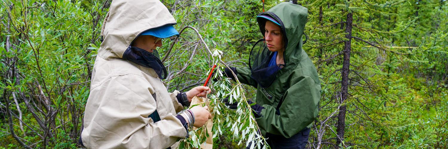
In 2004, wildlife and land managers conducted a prescribed burn in the vicinity of the Alphabet Hills and west fork of the Gulkana River (hereafter referred to as the “Alphabet Hills study area”) to improve habitat for moose (Alces alces) and other wildlife. To help determine the effects of the prescribed burn on forage availability for moose, the Alaska Center for Conservation Science (ACCS) at University of Alaska Anchorage collaborated with Alaska Department of Fish and Game (ADF&G) to sample biomass of forage plant species available for moose in burned and unburned portions of the Alphabet Hills study area during July and August 2021. Subsequently, we created a set of vegetation maps to enable spatially explicit sampling of statistical distributions of available forage biomass around peak growing season for moose. The vegetation maps extend site-level biomass measurements across the entire landscape of the study area. This project includes the following data:
- Surficial features
- Vegetation pattern (foliar cover)
- Existing vegetation type
- Available forage biomass for moose
About the data
Data are primarily .tif rasters. Data visualizations are provided as .lyrx files intended for use in ArcGIS Pro 3.0+. Users should download the attached zip folder containing the data and extract into a directory intended to store the data. More information regarding specific datasets can be found in the user guide.
Acknowledgements
This project was made possible through funding from ADF&G. Don Spalinger was instrumental in developing the initial idea for mapping species-specific available forage biomass for moose in the Alphabet Hills. Kristin Denryter, Bill Collins, Katie Anderson, and Don Spalinger aided in the collection of field data. Katie Anderson processed dry mass samples collected from the field in the ADF&G Palmer Nutritional Lab. Numerous ecologists and technicians collected the field data necessary to create the Continuous Foliar Cover of Species and Aggregates in North American Beringia. Lindsey Flagstad and Anjanette Steer provided comments on the map classification related to USNVC alliances. The standards that guided map development for this project were developed through the volunteer efforts of Alaska regional vegetation experts from federal, state, academic, and private organizations.
Data and Resources
- User Guide for Alphabet Hills Biomass Mapspdf
The user guide is a PDF document that provides an overview of methods and...
Download - Data Package for Alphabet Hills Biomass Mapzip
The data package contains .tif raster files for surficial features,...
Download - Git Repository for Alphabet Hills Biomass Mapshtml
The code repository contains a suite of scripts based in Python, R, and...
Go to resource
| Field | Value |
|---|---|
| Modified | 2025-10-03 |
| Release Date | 2023-03-07 |
| Frequency | Irregularly |
| Identifier | fe920a7b-0f44-43e2-bb5a-07b950f78705 |
| Spatial / Geographical Coverage Area | POLYGON ((-146.91577121615 62.555831683073, -146.24780192971 62.567981541526, -146.11596733332 62.78984890322, -146.13354384899 63.049918288372, -147.30248942971 63.073808385019, -147.9353030026 63.049918288372, -147.96166911721 62.592265448999)) |
| Data Standard | |
| Spatial / Geographical Coverage Location | Alphabet Hills |
| License | |
| Granularity | 2 x 2 m |
| Author | |
| Contact Name | Timm Nawrocki |
| Contact Email | |
| Public Access Level | Public |