![[Open Data]](https://assets.okfn.org/images/ok_buttons/od_80x15_blue.png)
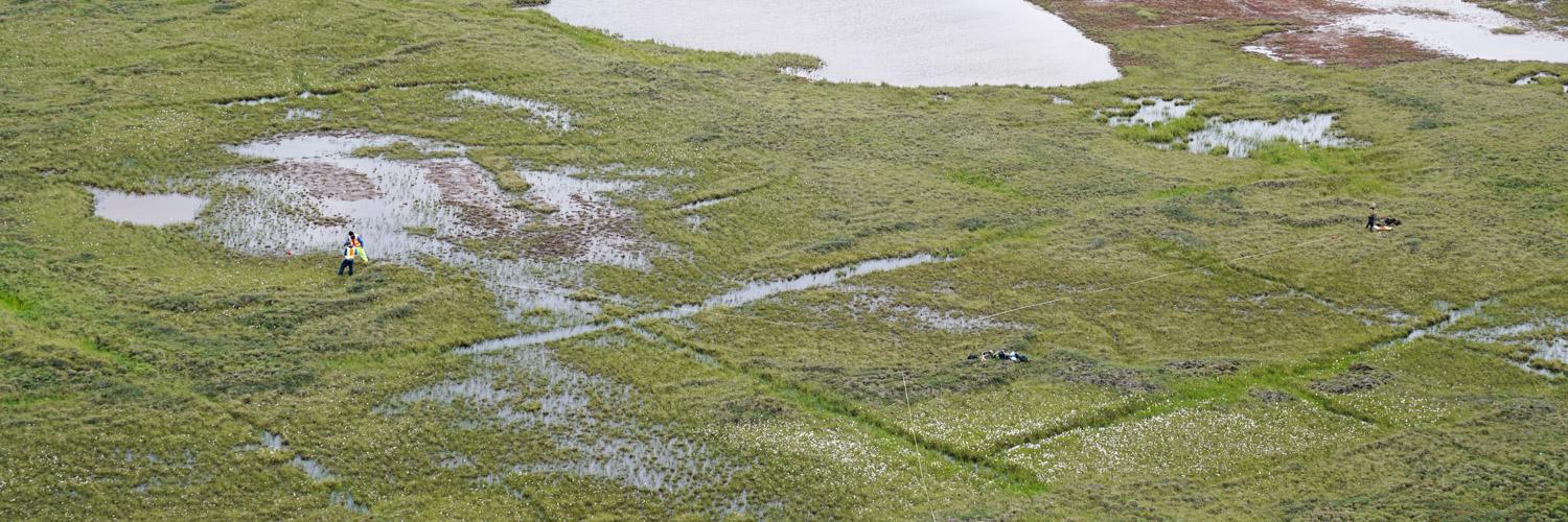
The Alaska Center for Conservation Science (ACCS) at University of Alaska Anchorage conducted Assessment, Inventory, and Monitoring (AIM) in the Greater Moose’s Tooth – 2 (GMT-2) area for Bureau of Land Management (BLM) during 2019 and 2021. In addition to the field measure core and supplemental AIM indicators, we provide remote sensing indicators, described in the attached user guide. AIM remote sensing indicators extend site-level monitoring measurements across entire landscapes and expand the suite of measured variables beyond those practical to measure extensively in the field. The AIM remote sensing indicators for GMT-2 relate to the National Petroleum Reserve – Alaska (NPR-A) ecosystem conceptual model developed for the AIM NPR-A pilot project (Boucher et al. 2018). The remote sensing indicators include the following data:
- Surficial features
- Surface water
- Vegetation pattern (foliar cover)
- Existing vegetation type
- Productivity
- Phenology
About the data
Data are primarily .tif rasters. Data visualizations are provided as .lyrx files intended for use in ArcGIS Pro 3.0+. Users should download the attached zip folder containing the data and extract into a directory intended to store the data. More information regarding specific datasets can be found in the user guide.
Acknowledgements
This project was made possible through funding from the Bureau of Land Management (BLM). Ecologists at BLM, Jornada Experimental Range, and ACCS developed the AIM program in NPR-A, including selecting remote sensing indicators (see Boucher et al. 2018). Numerous ecologists and technicians collected the field data necessary to make the dataset possible. Lindsey Flagstad provided comments on the map classification related to USNVC alliances.
Data and Resources
- User Guide for the Remote Sensing Indicators for BLM AIM GMT-2pdf
The user guide is a PDF document that provides an overview of methods and...
Download - Data Package for the Remote Sensing Indicators for BLM AIM GMT-2zip
The data package contains .tif raster files for surficial features, surface...
Download - Git Repository for the Remote Sensing Indicators for BLM AIM GMT-2html
The code repository contains a suite of scripts based in Python, R, and...
Go to resource
| Field | Value |
|---|---|
| Modified | 2023-11-01 |
| Release Date | 2023-03-07 |
| Frequency | Irregularly |
| Identifier | 8543d768-6166-4431-9668-b6306a7cd3fb |
| Spatial / Geographical Coverage Area | POLYGON ((-150.16607612371 70.446165950309, -150.6296993047 70.324461246065, -150.89556857944 70.090841325573, -152.03594963998 70.107295934965, -151.93267788738 70.460133947554, -150.62750190496 70.502713715192, -150.32867431641 70.486573223147)) |
| Data Standard | |
| Spatial / Geographical Coverage Location | Greater Moose's Tooth-2 |
| License | |
| Granularity | 2 x 2 m |
| Author | |
| Contact Name | Timm Nawrocki |
| Contact Email | |
| Public Access Level | Public |