![[Open Data]](https://assets.okfn.org/images/ok_buttons/od_80x15_blue.png)
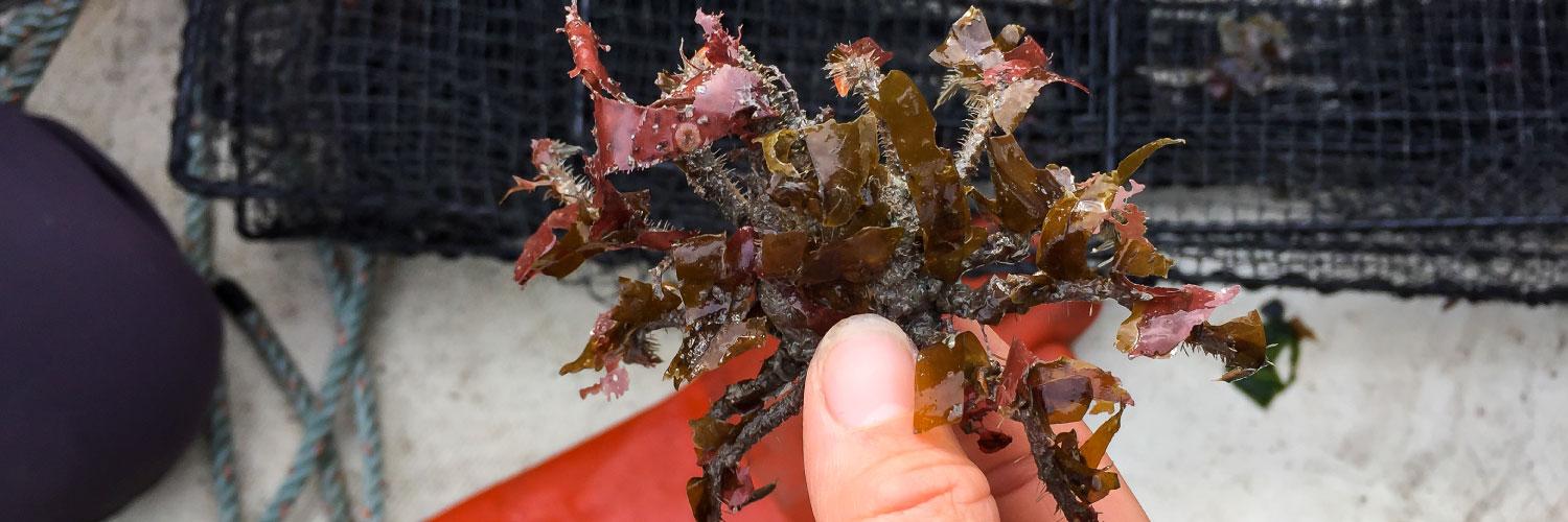
Invasive species are one of the leading global conservation concerns because they can have strong, negative impacts on ecosystems, native species, and natural resources. To date, arctic regions have experienced a relatively low number of biological introductions. However, increases in water temperatures, reductions in sea ice, and projected increases in shipping traffic are expected to make arctic marine regions more susceptible to the arrival and colonization of new species.
Our risk assessment for the Bering Sea sought to identify 1) which marine species pose the greatest invasion risk; 2) which areas are most vulnerable to invasion; and 3) which ports are most likely to serve as an entry point into the Eastern Bering Sea.
As part of this project, we created suitability maps using downscaled climate models and species' temperature and salinity thresholds. For each species, we evaluated a) the number of weeks with suitable survival habitat; b) whether each species could survive year-round; c) the number of consecutive weeks with suitable reproductive habitat. We conducted these analyses for two, 10-year study periods: current (2003-2012) and future (2030-2039).
About the data
Our dataset, including physiological thresholds and predicted suitability results for each species, can be found on our KNB data repository. Suitability maps are also available as a .pdf.
Acknowledgements
This project was made possible through funding from the North Pacific Research Board (project #1523) and the Aleutian and Bering Sea Islands LCC. Tracey Gotthardt and Aaron Poe were involved with spearheading the project. Tracey Gotthardt and Aaron Poe were instrumental in developing this project. Casey Greenstein, Lindsey Flagstad, Catie Bursche, Jaime Weltfelt, and Curtis Whisman contributed to developing the ranking system and the species status reports. Thank you to Jen Karnak of Marine Exchange of Alaska, who assisted with vessel identification, Rob Bochenek and Dr. William Koeppen of Axiom Data Science for assistance extracting the ROMS data, Marcus Geist for his GIS wizarding, and Dr. Al Hermann for insightful conversations about the ROMS.
Data and Resources
- Journal article for suitability modeling of non-native speciespdf
Contains details about our methods, study area, and results, as well as a...
Go to resource - Code repository for suitability models of non-native specieshtml
R-based scripts for evaluating suitable temperature and salinity conditions...
Go to resource - Data repository for suitability modelshtml
Includes links to download the environmental suitability models, which are...
Go to resource - Risk score for individual non-native speciescsv
We developed a ranking system to assess the risk posed by 46 non-native...
Preview Download - Final report
Includes methods and analyses from the project's three components: ranking...
Go to resource - Appendices for the final report
Includes habitat suitability maps for all assessed species, and additional...
Go to resource
| Field | Value |
|---|---|
| Modified | 2026-01-28 |
| Release Date | 2019-10-25 |
| Identifier | 870f6e5b-b21b-4c45-9629-1437f53e3c3f |
| Spatial / Geographical Coverage Area | POLYGON ((-169.98046875 65.701257900527, -172.08984375 65.628823706475, -173.671875 64.593256107238, -176.66015625 65.337055366975, -180.52734375 65.556186806269, -182.63671875 64.593256107238, -181.0546875 62.64134387466, -183.1640625 62.234674004974, -187.20703125 61.151187608401, -189.84375 60.378575303227, -194.0625 60.204345581938, -196.875 58.958507073834, -194.94140625 56.130245656103, -189.84375 53.810382427311, -180.87890625 52.116625673788, -173.14453125 52.546295697523, -166.46484375 54.017452229774, -161.19140625 56.032156723752, -157.8515625 58.040096504167, -157.1484375 59.229366068221, -160.6640625 58.958507073834, -162.94921875 59.139317334481, -162.59765625 60.204345581938, -165.234375 60.204345581938, -166.11328125 61.320361274729, -166.2890625 62.56045188361, -164.53125 63.438230169422, -162.24609375 63.595004887552, -161.54296875 64.668569125374, -164.00390625 64.517734089053, -166.46484375 64.442002622403, -166.9921875 65.337055366975)) |
| Spatial / Geographical Coverage Location | Bering Sea |
| Language | English |
| License | |
| Contact Name | Droghini, Amanda |
| Contact Email | |
| Public Access Level | Public |