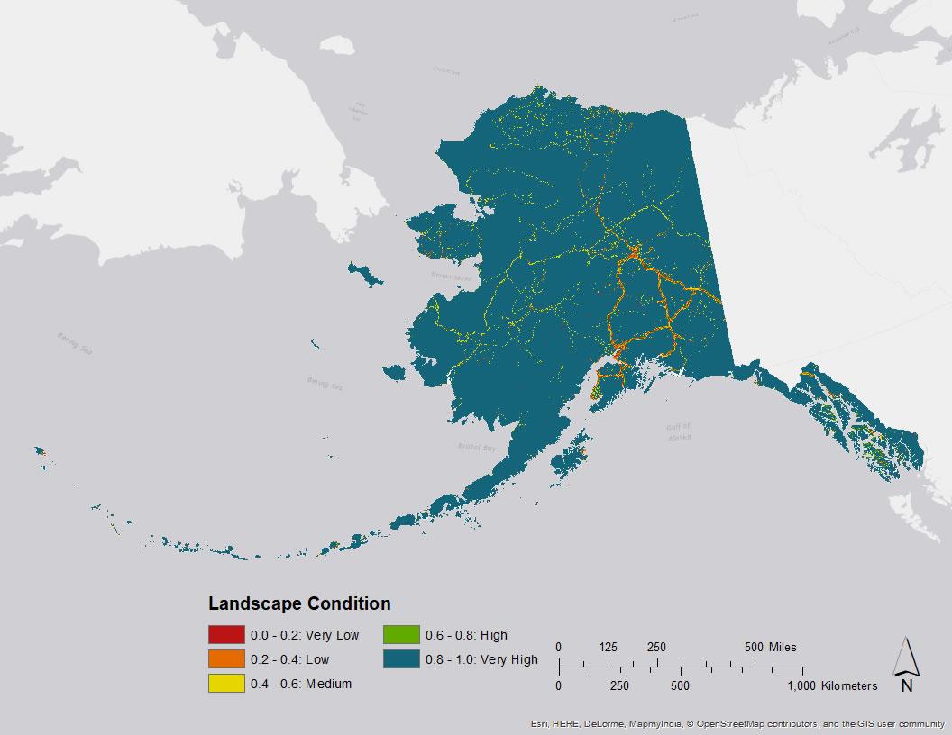
As a measure of potential human impact, the impacts of current anthropogenic development are summarized in a 60 x 60 m grid by the landscape condition model (LCM). The LCM weighs the relative influence of different types of human footprints based on factors like permanence, nature of the activity, etc. Permanent human modification is weighted the highest, while temporary use receive less weight. Intensive land uses like mining are also weighted higher than less intensive land uses like trails. These weights are summed across the landscape and coalesced into a single surface identifying how impacted a given area is due to human modification. Categories of human impacts included in this analysis are transportation infrastructure, urban and industrial development, and invasive species. Distance decay values are assigned to each impact such that the impact declines with increasing distance from infrastructure. Human impacts of each type are merged according to MIN rules to create a final dataset. This analysis is intended to identify the current level of human impact in the state. The output for landscape condition is a relative scale from 1 to 5, with values of 5 representing "Very High" landscape condition and values of 1 representing "Very Low" landscape condition.
5 files in this archive
- Alaska_2014_LandscapeCondition.img
- Alaska_2014_LandscapeCondition.img.aux.xml
- Alaska_2014_LandscapeCondition.img.vat.dbf
- Alaska_2014_LandscapeCondition.img.xml
- Alaska_2014_LandscapeCondition.lyr

