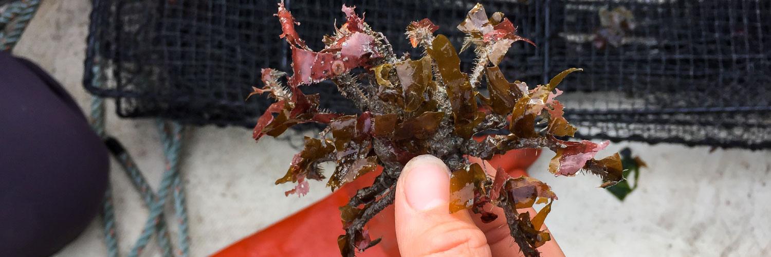
Invasive species are one of the leading global conservation concerns, which can have strong, negative impacts on ecosystems, vulnerable species, and valuable natural resources. Arctic regions have experienced a relatively low number of biological introductions to date. Their geographical remoteness, cold waters, and presence of sea ice present challenging conditions for both non-native organisms and the vessels that transport them, presumably leading to low rates of introduction and establishment. However, observed increases in water temperatures reductions in sea ice, and projected increases in shipping traffic are expected to render arctic marine regions more susceptible to the arrival and colonization of new species. Risk assessments for these Arctic regions are important to inform management and monitoring priorities by determining which species pose the greatest risk. Our risk assessment for the Bering Sea sought to identify 1) which marine species have the greatest risk for invasion; 2) areas in the Bering Sea with the greatest risk of invasion and species establishment; 3) which ports are most likely to serve as an entry point into Alaska’s Bering Sea.
As part of this project, we created habitat suitability maps using downscaled climate models and species' temperature and salinity thresholds. For each species, we evaluated a) the number of weeks with suitable survival habitat; b) whether each species could survive year-round; c) the number of consecutive weeks with suitable reproductive habitat. We conducted these analyses for two, 10-year study periods: current (2003-2012) and future (2030-2039).
About the data
- Individual taxa rasters contain habitat suitability predictions for each species, climate model, and study period that we considered. This information can also be accessed as a .pdf (Habitat suitability atlas)
- Summary rasters Individual taxa rasters were combined to evaluate the total number of species with suitable survival/reproduction habitat in the Bering Sea. This dataset includes model-averaged rasters and rasters for each model-study period combination.
Data and Resources
| Field | Value |
|---|---|
| Modified | 2026-01-28 |
| Release Date | 2019-10-25 |
| Identifier | 870f6e5b-b21b-4c45-9629-1437f53e3c3f |
| License | |
| Public Access Level | Public |

![[Open Data]](https://assets.okfn.org/images/ok_buttons/od_80x15_blue.png)